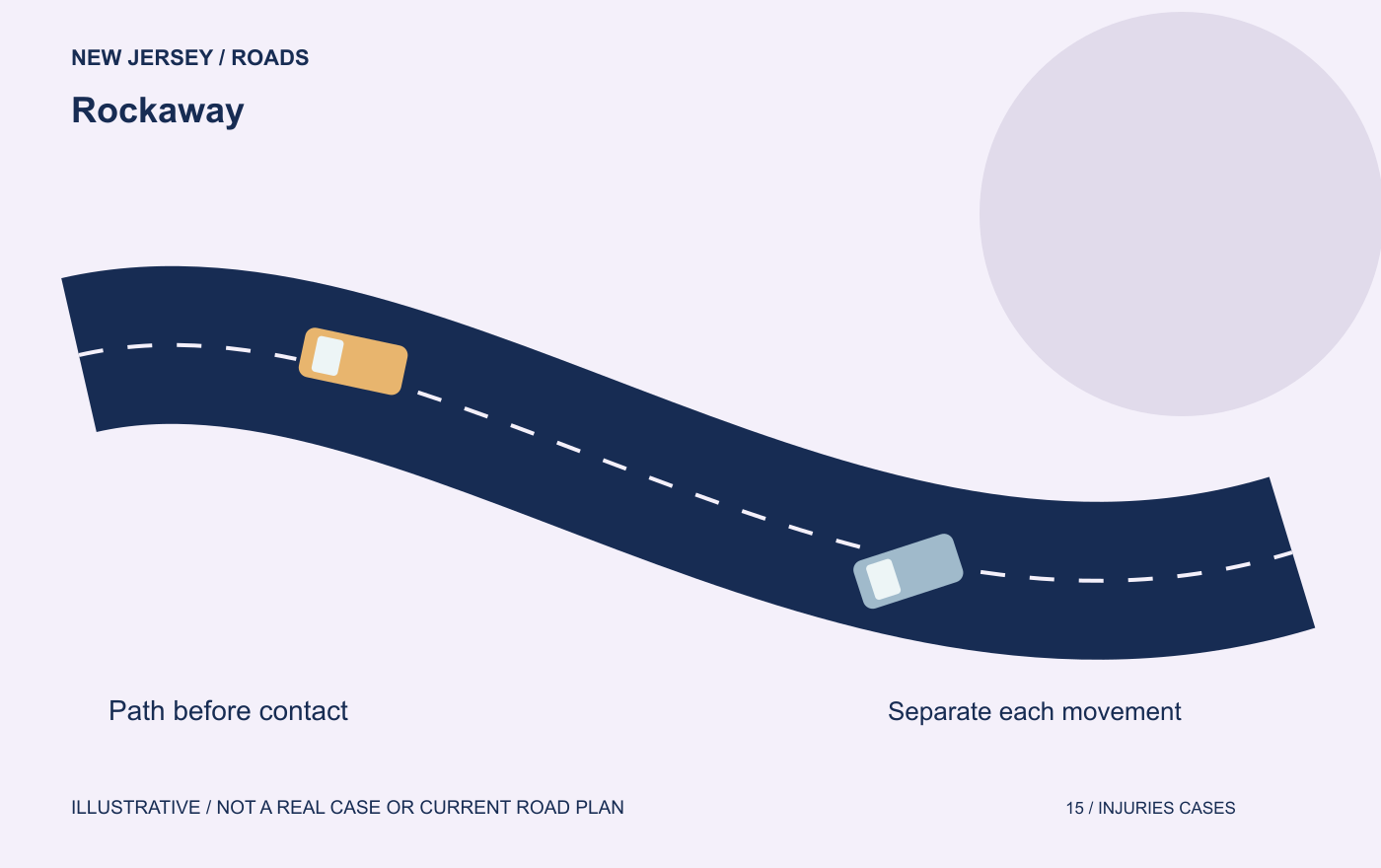
Rockaway Commons: distinguish the two listed left turns
If you were travelling along Route 46 when a vehicle crossed ahead of you, establish whether it began on the opposite highway side or inside the property. The same destination name can conceal two different origins. A later stop at the shopping site does not prove either one.
| Vehicle's origin | Movement in the NJDOT turn table | Location reference |
|---|---|---|
| Route 46 westbound | Left into Rockaway Commons driveway, southbound. | About 285 feet west of Franklin Avenue, approximate milepost 40.85. |
| Rockaway Commons driveway northbound | Left onto Route 46 westbound. | The identified borough driveway, not every access carrying a Rockaway name. |
| A different opening or municipality | This table does not locate that movement. | Verify the actual opening before applying either entry. |
Source check: October 13, 2026. NJDOT Route 46 turning table.
A westbound entry crosses a different path from a driveway exit
If the car was traveling west before beginning a left turn toward the driveway south of the highway, explain that approach. The path it would cross is not described correctly by saying both cars were simply westbound near the entrance. Identify whether your car was eastbound, westbound or coming from the property.
A separate situation begins with the other car moving north from the driveway toward Route 46. Explain whether it attempted to enter traffic toward the east or west, if you saw that movement. If you only noticed it when it reached the highway, do not claim you know its entire intended route.
These are descriptions of possible paths, not actual local cases. A hypothetical driver could also change position or slow before reaching the opening, causing contact before any turn is completed. That earlier movement needs its own account.
Which opening did the driver actually use?
The distance in the official table identifies a particular driveway near Franklin Avenue. Do not assume it refers to every entrance in the area. State what you saw: an opening, a sign, a neighboring junction or a route direction you remember from the approach.
If a later map appears to show another access, ask how it relates to the opening used on your collision date. A business may change, and an entrance can be altered. The name in a traffic order is not a guarantee that every present business or driveway matches your memory of the site.
Keep photographs that show the opening and surrounding road, if safely obtained, along with close damage views. Explain whether the photograph was taken immediately afterward or on a later visit. Do not return to moving traffic to recreate a vehicle position for a photograph.
Keep the local rule separate from the disputed movement
The official locator is enough to identify the listed access for discussion, but it is not a current aerial or lane diagram. Do not invent the width, islands or number of openings. An original clip or dated photograph should identify the opening actually used; the direction matrix helps keep that evidence aligned with the listed movement.
Care and the next useful conversation
Call 911 for an emergency or an unsafe scene. Seek medical advice for injuries and follow the treating clinician’s instructions. Do not stop on an active road or ramp to reconstruct a collision.
For treatment payments, work losses, coverage and proposed releases, use the focused guides: New Jersey car accident help; PIP and medical billing.